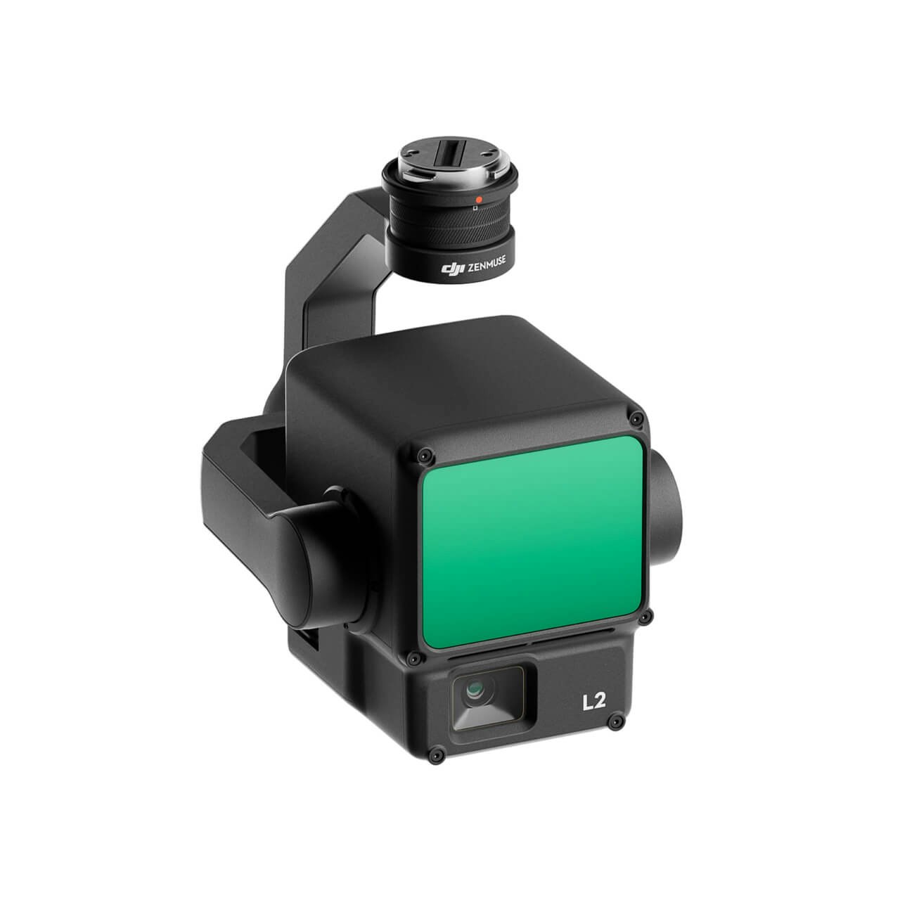
DJI Zenmuse L2
Introducing the DJI Zenmuse L2 Lidar Sensor – the game-changer that’ll have you mapping smarter and capturing data like never before! Are you ready to take your drone missions to unprecedented heights? Brace yourself for DJI’s next-gen marvel that’s about to revolutionize the way you see the world from above.
Design with a solutions architect.
Meet with a BAAM.Tech Solutions Architect to design your tailor-made package including a custom training plan for your team.
-
Description
Product DetailsDJI Zenmuse L2


Elevate your Potential

Improved Beam Divergence
DJI Zenmuse L2’s improved IMU and Lidar Module reduces beam divergence allowing operators to create higher fidelity point clouds with richer details of street curbs, stair treads, power lines, and more.

RGB
Registration
With an upgraded 20-megapixel RGB camera, the DJI Zenmuse L2 takes ortho-imagery to new heights with onboard pixel array tracing – ensuring that every pixel is utilized to its maximum potential.

Even more
Returns
With the capability to capture up to 5 returns, DJI Zenmuse L2 excels in tree canopy penetration making it a valuable tool for forestry and vegetation studies in the most challenging of environments.
The DJI L2 Accuracy Analysis and Use Case Exploration by BAAM.Tech
Looking Forward. The DJI Evolution.

- Point Rate
- Single Return: max. 240,00 pts/s
- Multiple Return: max. 480,000 pts/s
Horizontal: 10cm @ 50 mVertical: 5cm @ 50 m

Horizontal: 49.9 cmVertical: 5.2 cm
- Dimensions: 152×110×169 mm
- Weight: 930±10 g
- IP Protection: IP54

- Point Rate
- Single Return: max. 240,000 pts/s
- Multiple Return: max. 1,200,000 pts/s

Horizontal: 10 cm @ 150 mVertical: 5 cm @ 150 m

Horizontal: 17 cmVertical: 2.55 cm
- Dimensions: 155×128×176 mm
- Weight: 905±5 g
- IP Protection: IP54
In the Box


