DJI Agras T10
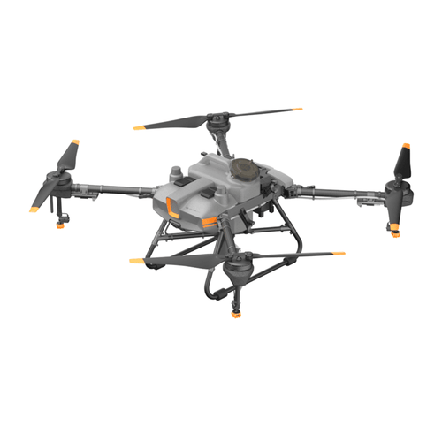
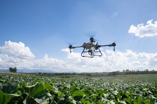
The DJI Agras T10 brings a highly compact-yet-powerful aerial solution to agriculture sites of all sizes and needs. An 8 liter tank and spray width of up to 5 meters allow the aircraft to cover up to 15 acres/hour. Its folding truss structure is sturdy and reliable, enabling efficient folding and unfolding, convenient transportation, and easy transitions.
Design with a solutions architect.
Meet with a BAAM.Tech Solutions Architect to design your tailor-made package including a custom training plan for your team.
-
Description

The spherical radar system receives obstacles and surrounds in all environments, weather conditions, and viewing angles, regardless of dust and light interference. Automatic obstacle avoidance and adaptive flight functions help ensure safety during operation.
Equipped with dual FPV cameras, the Agras T10 provides clear front and rear views and lets you check flight status without needing to turn the aircraft mid-flight. A bright searchlight doubles the aircraft’s night vision capabilities creating more nighttime operation possibilities.
The Agras T10 control module has a fully enclosed structure for added durability. All critical components have three layers of protection and are IP67 rated. Ideal for long term use of pesticides and fertilizers, and to resist dust and corrosion.
With fewer supporting components needed, the DJI Agras T10 is easier to transport. A newly design intelligent battery is covered by warranty for 1,000 charge and 1,650 acres of flight. This ultra-long service life significantly reduces operating costs. The charging station and smart charging hub can fully charge a battery in 10 minutes, allowing for continuous operation with just two batteries and one charger.

The 9,000mAh Intelligent Flight Battery has a product guarantee of 1,000 cycles. It supports instant charging without the need for cooldown, circuit board0level potting protection, and resistance from water and corrosion.

The T30 Battery Station provides 3,600 watts of charging power and can charge a battery in 7 minutes. It supports dual-channel alternated charging with power adaption and safer operation.
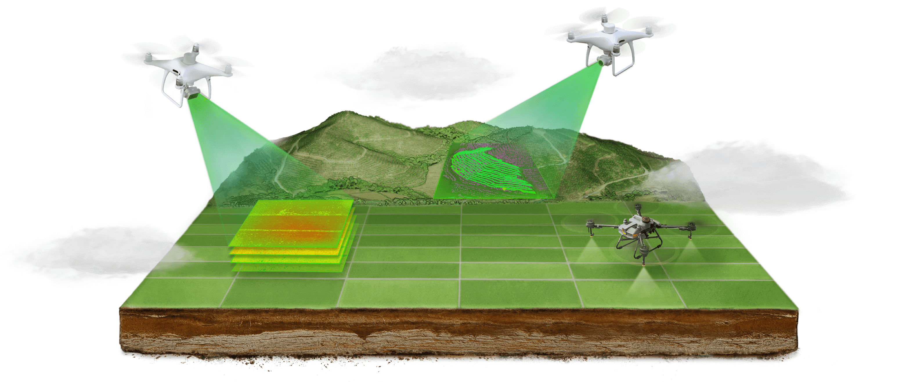
With the Smart Agriculture Cloud Platform, users can perform cloud-based mapping of orchard and farmland scenarios to generate smart flightpaths. This platform is equipped with an AI recognition system to patrol fields, identify growth, monitor disease or pests, and monitor agricultural conditions efficiently. Pairing the system with the DJI P4 Multispectral allows users to apply solutions based on specific variables according to an automatically-generated farmland prescription map.


